Imagine stepping into a world where every device, app, and service intuitively understands your exact location. In 2026, geo-technology powers smarter navigation, tailored experiences, and data-driven decisions for businesses and individuals.
Understanding how geo works is now essential as location data drives innovation in everything from marketing to emergency response. This guide will break down the fundamentals, practical uses, and future trends of geo so you can stay ahead.
Explore the mechanics, privacy considerations, and transformative business applications shaping our digital landscape today and tomorrow.
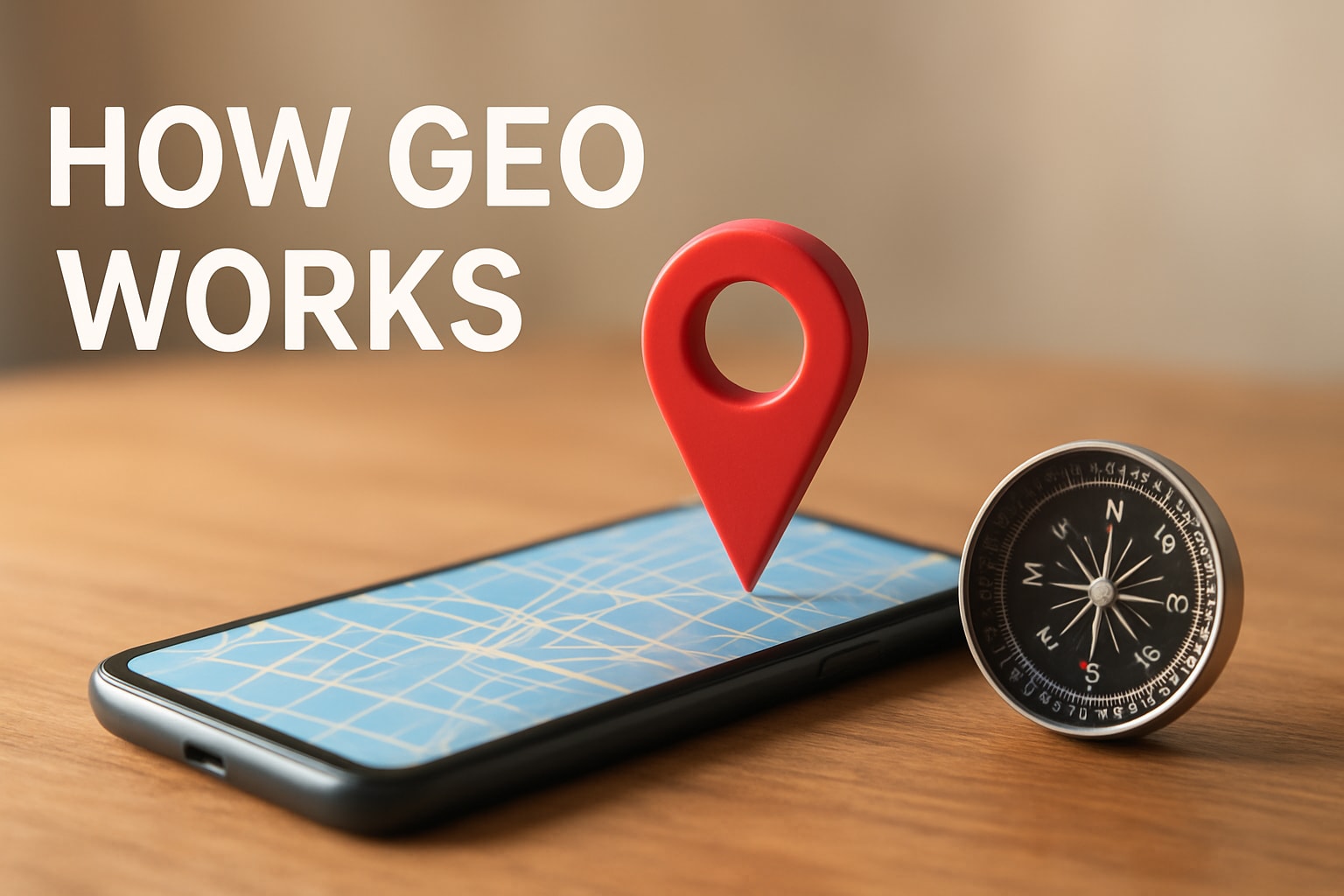
The Fundamentals of Geo Technology
Geo technology refers to the collection of tools and systems that determine, analyse, and use physical location data to inform digital experiences and real-world decisions. The core components include GPS for pinpointing positions, GIS for mapping and analysis, geofencing for creating virtual boundaries, and geotagging for adding location context to digital content. Understanding how geo works begins with these foundational elements, which underpin everything from navigation to personalised services.
The story of geo technology began with early satellite-based navigation systems in the late twentieth century. GPS, developed for military purposes, soon evolved for public and commercial use. By 2026, geo systems have become highly sophisticated, integrating AI and IoT devices to deliver real-time, hyper-accurate location data. For those interested in the next wave of advancements, What is Generative Engine Optimisation explores how geo works at the cutting edge of digital innovation.
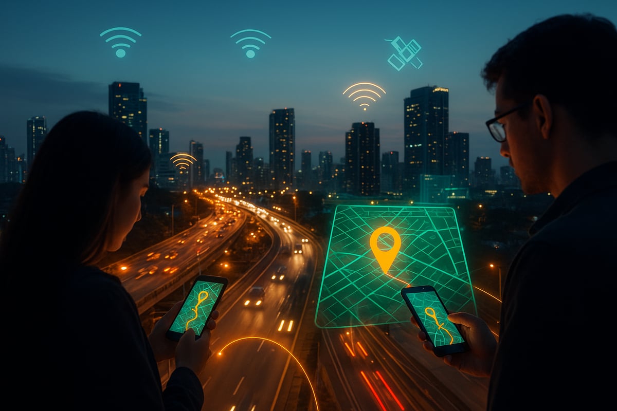
Modern geo technology relies on a blend of satellites, ground-based sensors, mobile networks, and cloud computing. Satellites provide global coverage, while sensors embedded in smartphones and vehicles capture detailed local information. Mobile networks enable continuous connectivity and data exchange, and cloud platforms process vast amounts of geo data efficiently. This combination is central to how geo works today, powering applications that require both scale and precision.
Capturing geo data involves several techniques. Triangulation uses signals from multiple satellites or cell towers to calculate a device's position. Wi-Fi positioning estimates location based on nearby networks, while Bluetooth beacons enable micro-location services within buildings. Cellular data supplements these methods for broader coverage. Real-time data processing is essential for how geo works in practice, allowing instant updates for navigation, delivery, or location-based alerts.
Examples of geo technology in action are everywhere. Google Maps, ride-sharing platforms, and social media check-ins all depend on accurate geo data. In 2025, over 90 percent of smartphone apps incorporated some form of geo-location, according to Statista. The accuracy of these systems is critical, as even minor errors can disrupt navigation, delay deliveries, or hinder emergency response. Mastering how geo works ensures that businesses and individuals benefit from reliable, context-aware digital experiences.
How Geo Data is Collected and Processed
Geo data collection and processing have become the backbone of modern digital experiences. Understanding how geo works begins with recognising the variety of sources and methods used to capture location information. This process underpins not only personal navigation but also the operations of global enterprises.

Main Data Sources and Collection Methods
Geo data comes from a vast ecosystem of sources. Satellites orbiting the Earth provide foundational signals for GPS, which enables precise location tracking. Mobile devices, with their built-in sensors and connectivity, continually contribute to this data pool. IoT sensors embedded in vehicles, infrastructure, and wearable devices add further layers of real-time information.
Public records, such as land registries and census data, enrich the context for geo analysis. Businesses and governments use these varied sources to gain a comprehensive view of how geo works in practice.
Data collection methods fall into two main categories: active and passive. Active methods require user input, like checking in at a restaurant or manually sharing a location with an app. Passive methods, on the other hand, operate in the background, gathering location data through automated logs, Bluetooth beacons, Wi-Fi signals, and cellular networks. This dual approach ensures both accuracy and scale in modern geo systems.
From Device to Server: How Geo Data is Processed
Once data is captured, it must travel securely and efficiently from the device to central servers for processing. This journey is crucial for understanding how geo works at scale. Devices transmit data using encrypted channels, safeguarding sensitive information against interception.
Upon arrival, the data goes through cleansing and validation. This step removes errors, filters out noise, and ensures the integrity of the information. Reliable geo data is essential for services like emergency response, navigation, and local business targeting.
Processing involves sorting, structuring, and integrating data from multiple sources. Cloud computing platforms handle the heavy lifting, enabling real-time updates and large-scale analysis. Only after these steps can geo-enabled services deliver accurate, actionable insights to users and businesses.
Intelligent Analysis: The Role of AI and Machine Learning
The true power of geo data is unlocked through intelligent analysis. Machine learning and AI algorithms are central to how geo works in today’s digital landscape. These technologies detect patterns, predict trends, and identify anomalies within massive datasets.
For example, logistics companies rely on real-time geo data to optimise delivery routes. AI analyses traffic conditions, weather forecasts, and historical delivery times to suggest the fastest, most efficient paths. This dynamic optimisation reduces costs and improves customer satisfaction.
Pattern recognition also supports proactive decision-making. Retailers can predict foot traffic patterns, while city planners use geo insights to manage resources. The combination of AI and geo data ensures that decisions are not only data-driven but also forward-looking.
Overcoming Challenges: Scale, Speed, and Legacy Systems
Despite its potential, collecting and processing geo data presents several challenges. The sheer volume of data generated by billions of devices can overwhelm traditional infrastructure. Network latency, or delays in data transmission, can hinder real-time applications.
Integrating new geo systems with legacy platforms requires careful planning and robust middleware. Businesses must balance innovation with reliability, ensuring that new features do not disrupt existing operations.
To stay ahead, many organisations are turning to cloud-based solutions and edge computing. These technologies help manage scale and speed, ensuring that how geo works remains effective as demands grow. For a closer look at how local businesses are adapting to these changes, see SEO Leicester 2026 Insights.
By understanding the methods, technologies, and challenges involved, individuals and organisations can harness the full potential of geo data in 2026.
Key Applications of Geo Technology in 2026
Geo technology is transforming nearly every sector, redefining how geo works in everyday life and business. In 2026, its impact stretches from marketing to mobility, healthcare, and beyond, creating more efficient, responsive, and tailored solutions.

Retail and Marketing
Retailers in 2026 rely on geo technology to personalise customer experiences, optimise store layouts, and drive foot traffic. Understanding how geo works enables brands to deliver targeted promotions through geofencing and in-store analytics. Businesses use real-time data to send offers to shoppers as they approach, increasing engagement and conversion rates.
For a deeper dive into how geo works within e-commerce and retail, see E-Commerce Web Designing Strategies.
Key benefits:
- Geotargeted advertising for local campaigns
- Personalised offers based on current location
- Enhanced loyalty programmes with location-based rewards
Transportation and Mobility
Transportation is one of the clearest examples of how geo works at scale. From ride-sharing apps to smart public transport, geo data powers route optimisation, traffic flow management, and autonomous vehicle navigation. In 2026, real-time location tracking ensures efficient journeys and reduces congestion.
Key features:
- Autonomous vehicles using live geo data
- Smart traffic systems adjusting signals dynamically
- Public transport apps providing accurate, location-based updates
Healthcare
Healthcare providers increasingly depend on geo technology to track outbreaks, monitor patients remotely, and coordinate emergency responses. Understanding how geo works allows for rapid deployment of resources and better patient outcomes.
Applications include:
- Real-time outbreak monitoring and mapping
- Remote patient care using geo-enabled wearables
- Emergency services dispatch based on precise location data
Urban Planning
Smart cities exemplify how geo works to improve quality of life. Urban planners use geo data to optimise infrastructure, manage resources, and design more liveable spaces. City councils analyse waste collection routes, energy usage, and crowd flows to make informed decisions.
Core uses:
- Infrastructure monitoring with geo sensors
- Resource allocation based on population movement
- Optimised waste collection and public service delivery
Agriculture
Precision farming demonstrates how geo works by enabling farmers to monitor crops, manage land, and maximise yields. Geo data from satellites and sensors guides irrigation schedules, fertiliser application, and pest control.
Agricultural advancements:
- Satellite imagery for crop health analysis
- Geo-fencing to control livestock movement
- Data-driven land use and yield prediction
Disaster Response
Disaster management relies on understanding how geo works under pressure. Real-time mapping, evacuation planning, and coordinated aid distribution are all enhanced by accurate geo data. Emergency teams use location intelligence to save lives and allocate resources efficiently.
Key aspects:
- Live mapping of affected zones
- Optimised evacuation routes
- Data-driven deployment of rescue teams
Summary Table: Key Geo Applications in 2026
| Sector | Application Examples | Impact |
|---|---|---|
| Retail & Marketing | Geofencing, targeted ads | Higher engagement and ROI |
| Transportation | Smart traffic, autonomous vehicles | Reduced congestion, improved efficiency |
| Healthcare | Outbreak tracking, remote care | Faster response, better outcomes |
| Urban Planning | Smart cities, resource management | Efficient services, improved quality |
| Agriculture | Precision farming, crop monitoring | Higher yields, sustainable practices |
| Disaster Response | Real-time mapping, evacuation | Faster, more effective rescue efforts |
The global market for location-based services is forecasted to reach $157 billion by 2026, reflecting the widespread adoption and value of geo technology.
Looking ahead, understanding how geo works will be essential for businesses and individuals seeking to thrive in an increasingly connected world. The ability to harness location intelligence will shape the future of innovation across every sector.
Technological Advances Shaping the Future of Geo
The pace of innovation is rapidly redefining how geo works in 2026. Technologies once considered futuristic are now central to everyday life and business operations. Understanding these advances is crucial for anyone aiming to leverage location intelligence in the years ahead.

5G and Edge Computing
One of the most significant shifts in how geo works is the rollout of 5G networks. With ultra-fast data speeds and minimal latency, 5G enables instant location updates and real-time decision-making. Edge computing complements this by processing geo data closer to its source, reducing delays and supporting applications like autonomous vehicles and smart traffic systems.
These advances mean that geo-enabled services are not only faster but also more reliable. For example, emergency response teams can receive precise location data in real time, improving outcomes and saving lives.
The Internet of Things: Billions of Connected Devices
The Internet of Things (IoT) is transforming how geo works on a massive scale. Billions of connected devices—from wearable health trackers to smart bins—generate continuous streams of location data. This data fuels smarter cities, optimised supply chains, and predictive maintenance in infrastructure.
A key benefit is the ability to monitor assets and environments remotely, enhancing efficiency and safety. As IoT adoption grows, the volume and variety of geo data will only increase.
Artificial Intelligence and Machine Learning
AI and machine learning are revolutionising how geo works by turning raw data into actionable insights. Algorithms now detect patterns, predict trends, and automate responses in ways previously unimaginable. For instance, delivery companies use AI to analyse traffic and weather data, adjusting routes in real time for maximum efficiency.
Machine learning models also help identify anomalies, such as unusual crowd movement, which is invaluable for public safety and event management. To explore more about these advancements, see Emerging Trends in Geospatial Technology.
AR, VR, and Immersive Experiences
Augmented and virtual reality are reshaping how geo works by blending digital information with the physical world. Retailers use AR to guide customers through stores, while tourism apps overlay historical facts onto real-world landmarks. In 2026, navigation apps with AR features are becoming standard, offering step-by-step guidance for pedestrians and drivers alike.
A particularly innovative example is AR navigation for visually impaired users. These systems provide audio and haptic feedback based on precise geo data, enabling safer and more independent travel.
Blockchain and Data Integrity
Blockchain technology is emerging as a vital tool for verifying the authenticity of geo data. By creating tamper-proof records, blockchain ensures that location information is trustworthy and transparent. This is especially important for applications like supply chain tracking and digital identity verification.
The decentralised nature of blockchain also supports privacy, giving users more control over how their location data is shared and used.
Summary Table: Key Technologies Shaping Geo
| Technology | Impact on How Geo Works | Example Use Case |
|---|---|---|
| 5G & Edge | Ultra-fast updates, low latency | Smart traffic management |
| IoT | Continuous, diverse geo data | Asset tracking in logistics |
| AI & ML | Predictive analytics, anomaly detection | Dynamic delivery routing |
| AR & VR | Enhanced, immersive navigation | AR navigation for visually impaired |
| Blockchain | Data integrity, privacy control | Secure supply chain verification |
Challenges and Future Outlook
Despite these advances, challenges remain. Managing the sheer volume of geo data, ensuring interoperability between platforms, and adhering to emerging standards are ongoing priorities. According to Gartner, 70 percent of new vehicles in 2026 are expected to feature advanced geo-enabled capabilities.
Staying ahead requires a clear understanding of how geo works and a commitment to adopting new technologies responsibly. The future promises even greater integration, smarter services, and more personalised experiences for businesses and individuals alike.
What Businesses and Individuals Need to Know for 2026
The landscape of geo technology in 2026 is dynamic and full of opportunity. Understanding how geo works is no longer optional for those aiming to stay ahead. Businesses and individuals must grasp the essentials to unlock value, protect privacy, and adapt to fast-moving trends.
Leveraging Geo Technology for Competitive Advantage
Geo technology is now a cornerstone for strategy and growth. By understanding how geo works, businesses can personalise offerings, streamline operations, and make data-driven choices. Local marketing, customer experience, and supply chain management all benefit from location intelligence.
For digital marketers, integrating geo into SEO and campaign planning is essential. As highlighted in 2024 SEO Trends for Success, geo technology enables brands to reach audiences with greater precision, driving engagement and conversions.
Key Skills and Tools Required
To thrive in this environment, a solid grasp of how geo works is vital. Teams should master GIS software, spatial analytics, and mobile app integration. Familiarity with privacy compliance frameworks is equally important.
Essential tools include:
- GIS platforms (e.g., ArcGIS, QGIS)
- Data visualisation dashboards
- Location-based APIs
- Privacy management solutions
Upskilling in these areas ensures that both businesses and individuals can capitalise on geo innovations.
Steps for Businesses: From Assessment to Integration
Businesses should approach geo adoption methodically. Start by assessing how geo works within your current operations and identifying opportunities for enhancement. Next, select platforms that align with your needs and integrate geo features into customer touchpoints.
A typical process might look like this:
| Step | Action |
|---|---|
| Assessment | Audit existing workflows and data usage |
| Selection | Choose suitable geo platforms/tools |
| Integration | Implement geo features in products/apps |
| Training | Upskill teams in location intelligence |
| Review | Monitor, analyse, and iterate |
This approach maximises return on investment and positions organisations for sustainable growth.
Individual Guidance: Managing Privacy and Data Sharing
For individuals, knowing how geo works empowers smarter choices about personal data. Review app permissions regularly and adjust location sharing settings to suit your comfort level. Understanding what data is collected, and how it is used, is crucial in the age of hyper-personalisation.
Take time to read privacy policies and use opt-out features where available. This awareness balances convenience with security.
Emerging Roles and Future-Proofing Your Skills
The rise of geo technology is creating new career paths. Roles such as geo data analyst, location intelligence specialist, and AR/VR geo developer are in high demand. Staying updated on how geo works, along with industry trends and regulations, will be essential for career advancement.
Proactive learning and networking with geo professionals help individuals and organisations remain agile as technology evolves.
Practical Example: SMEs and Consumer Expectations
Small and medium-sized enterprises are already using affordable geo tools to target local audiences and optimise logistics. For instance, a retailer leveraging location-based campaigns can boost foot traffic and sales while minimising costs.
Consumer expectations are rising too. According to Deloitte, 65% of consumers expect personalised experiences based on location by 2026. Meeting these demands requires a strong understanding of geo technology and its practical applications.
Now that you’ve explored how geo technology is shaping everything from digital marketing to smarter navigation and privacy, you might be wondering how your business can truly harness these advancements for 2026 and beyond. At Ruff Idea, we specialise in creating bespoke, user-friendly websites that integrate the latest in geo solutions, SEO, and seamless digital experiences. If you’re ready to elevate your online presence or have questions about implementing geo features for your brand, we’re here to help.
Get in touch and let’s craft a strategy tailored to your goals.